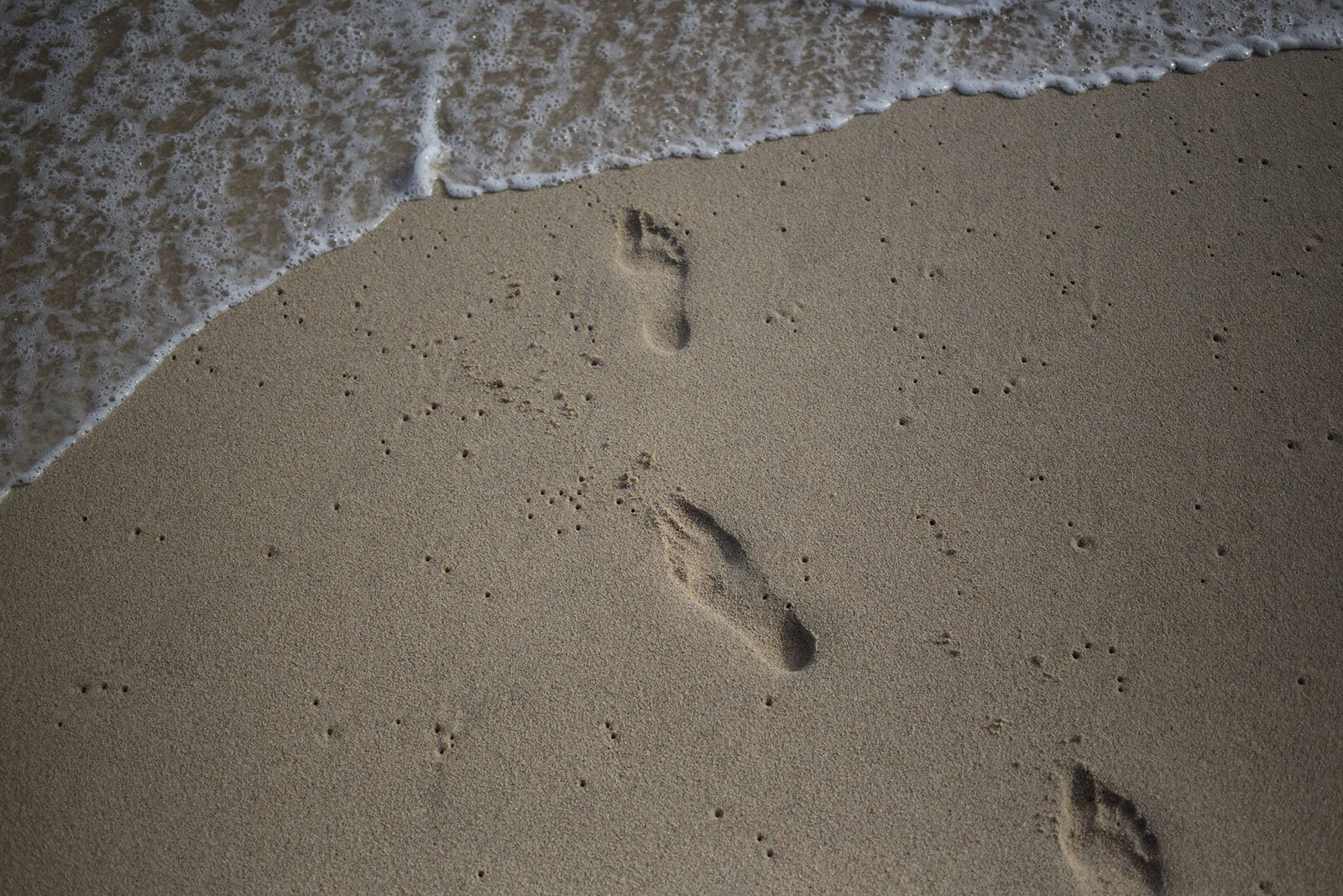
Sand Dunes
Sand.
Lots and lots of sand.
Sand is the parting gift, the takeaway in trip notes from Colorado's Great Sand Dunes National Park. I'm still finding those notes, grinding and crunching away, scattered about my life.

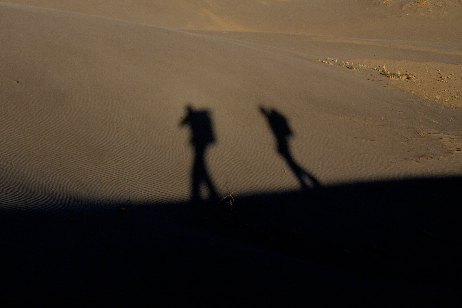
My hiking buddy and I saw precisely zero people between the trailhead and that evening's camp and back to the Jeep the next day. That was OK with us and a bulk of the point of even getting off the couch.
Our backpacking trip planning involves a straightforward goal, go where or when people aren't clogging the trails. This tactic usually consists of a march into wilderness areas or going in the winter, which includes increased planning levels and a substantial collection of warming packets that you'll forget you've packed, not use, drag around for a week complaining why you packed so much.
We are a stubborn bunch.
We hit the trail later in the day than planned, it was mid-April, so we had plenty of time to reach our backcountry camp by sundown-ish. Our route, the Sand Ramp Trail, would thread us almost 6 miles, around the backend of the 30 square mile dune field, snaking along through clusters of Pinon pines under a baking sun until nightfall. After a struggle along the sandy slopes of the mountains ringing the dunes, we finally reached our night's campsite - a stand of mature Aspens. The hike is always worth it.
Sand Ramp. Say it out loud, it sounds like we felt. Sluggish and parched. Exhausted and a bit ashamed for struggling as much as we did on a shorter trip, I decided against setting up my tent. No rain in the forecast, maybe some wind as the temperature dropped. Though we did not backpack into the dunes themselves, the trail was sandy—one step forward, two steps back. It was brutal with packs.
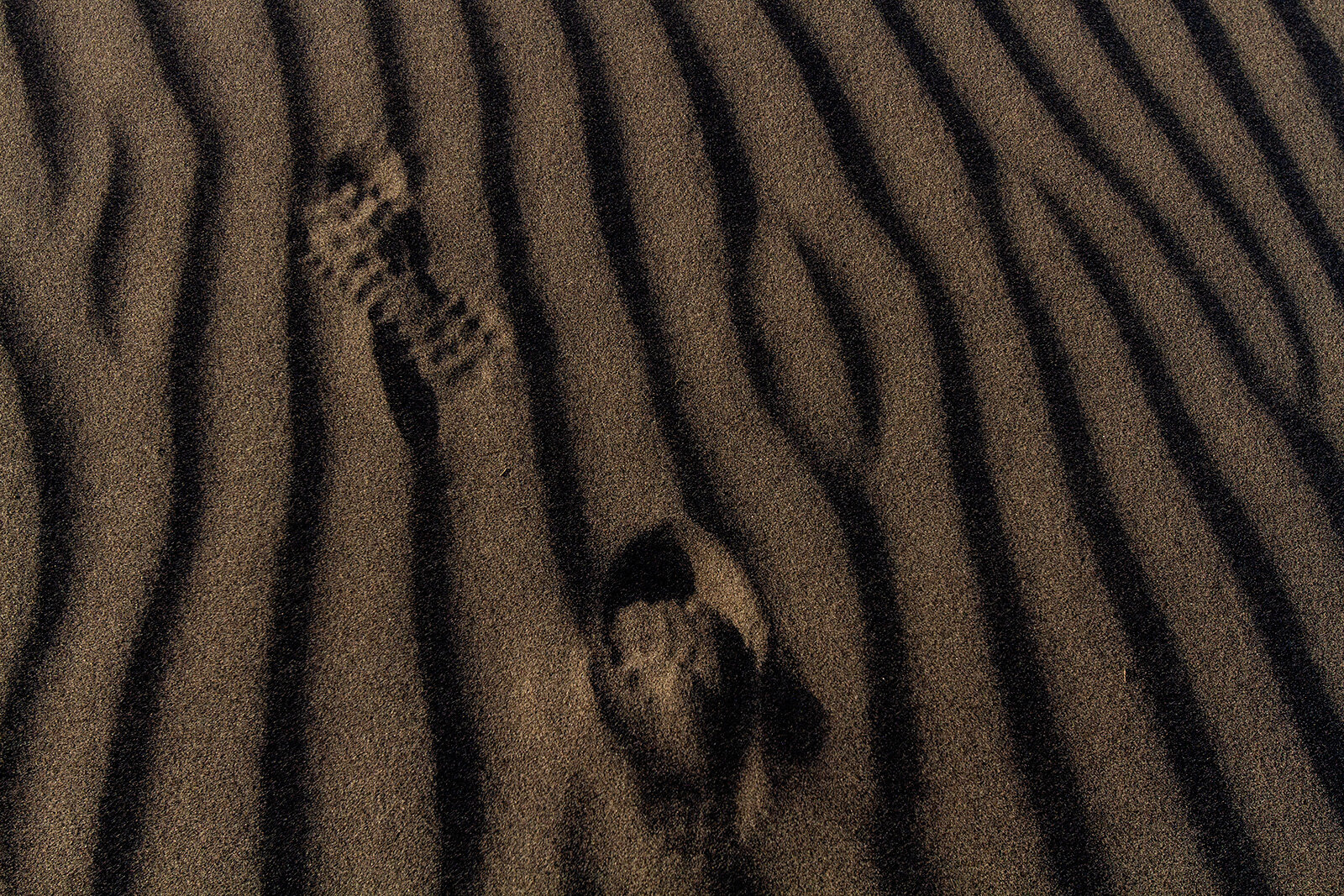
Sand in my boots, food, and camera gear was standard. The grinding of tiny but jagged grains of sand can still be heard, going about their destructive business in my tripod's head. It's been a few years and trips since visiting the Sand Dunes, but the sand is still floating around.

For the first time in a long time, I slept outside my tent. The reward was a cloudless night sky filled by countless incomprehensibly distant star systems stacked in layers. The experience of slogging along in sand-filled boots was well worth the price of exploring this bizarre and foreign landscape. As a further reward, a herd of deer cruised through our camp during the middle of the night. At least 15 pairs of eyes reflecting my headlamp back at me, glowing orbs of light saying, get off our lawn, leave no trace and pack out your trash.
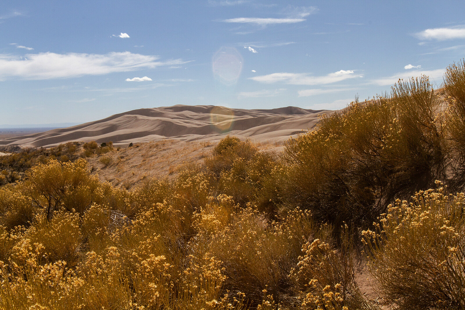
Never the same space twice, Great Sand Dunes National Park, serves as a fascinating reminder that these seemingly stagnate landscapes are in constant flux, forever shifting with the wind or boot track.
Though a four-hour haul south from Denver, it's worth the drive to just point and stare at the dunes. Go stand at the foot of the towering Star Dune. At 750 feet, it’s the tallest sand dune in North America, but even then, the dune's massiveness is dwarfed by the sprawling San Luis Valley and seemingly endless Sangre de Cristo Range. The landscape plays tricks on you, with few landmarks other than a cluster of mountain peaks, distances become meaningless. It's just you and the sand. Lots and lots of sand.


Saguache County. Mosca, Colorado.
Grand Sand Dunes National Park 37.732629, -105.512093
The provided GPS coordinates should bring you directly to the park's visitor's center. For this trip, we took I-25 south to Walsenburg and west through Muleshoe, Fort Garland, and Blanca.
The Sand Ramp Trail, used for backcountry access, is a strenuous trail that skirts the northeastern dune field.
Start at Loop 2 Campground or at the parking area for Point of No Return. If your plan includes parking at Point of No Return, also plan for two miles of deep, soft sand accessible by 4x4.
There are 7 primitive, backcountry sites that require a free permit available first come first serve at the Visitor's Center.
Call ahead for conditions and services before you go. COVID-19 closures and extended delays at the gate are now common.
National Park Service website >> https://www.nps.gov/grsa/planyourvisit/conditions.htm
If you are four-wheel adventuring, after the Point of No Return parking area, you will continue on the primitive Medano Pass. The trail is a 20-mile point-to-point. High vehicle clearance is required for the deep, soft sand, creek crossings, and rocks. Low tire PSI is recommended. Bring a shovel, maybe a friend with a winch, and know where your tow points are.
Always check for closures, there are very few services near, or at the park. The park is remote though expect crowds during the spring and summer while Medano Creek is flowing.